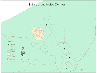

I chose to geocode the locations of elementary schools in two different counties in the state of California. These are the Fresno and Merced counties in the central valley. This map can be a useful resource for families who have children going to an elementary school in these counties. These elementary schools are of two types, although no distinction is made in the map itself; some fall into the category of kindergarten through sixth grade and the others into the category of kindergarten through fifth grade.
Parents can use my map as a resource to decide which elementary school their children will attend. My map provides location information on these elementary schools. This is useful information for determining the distance between schools and homes. Then, parents can compare how far children will travel to and from school, and what method of transportation they will need. Parents can ask and answer questions such as: can I drop my child off at school? Does my child need public or school transportation? Can my child walk to school? Furthermore, the information in my map can be useful to families already living in the counties of Fresno and Merced, as well as to families arriving to these counties.
In the process of geocoding, there are multiple steps which I followed to arrive at the final map. Before displaying any data through ArcMap and using an address locator, it was important to have the right amount and format of data. At first, I struggled with this first part of the process. As I looked through different possible locations to geocode, I realized that I needed addresses, cities, states, and zip codes for each location. Having this information allowed an accurate assessment of the address locator in matching addresses. I entered the data for each elementary school into an excel spreadsheet; this process was tedious, but getting it right prevented mistakes in the following steps on ArcMap. I also needed a shapefile of the streets of California to display the locations appropriately.
Once on ArcMap, I added the elementary school data on the excel spreadsheet. I also added the streets shapefile. Finally, I used an address locator to match the elementary school locations and display them on the streets. I added the address locator through ArcCatalog. The locations of the elementary schools are concentrated mainly in two areas, which correspond to the counties of Fresno and Merced. I geocoded the elementary schools in these two counties to provide information mainly to parents, but this information can also be used by school districts in matters of construction of new schools, or transportation systems for students.


